NOAA teams up with Agriculture, Interior on satellite-powered wildfire detection

Data from four NOAA-operated weather satellites located roughly 22,300 miles above the Earth could help federal agencies improve how they detect and track wildfires under a recently announced agreement.
The collaborative agreement between the National Oceanic and Atmospheric Administration, the Department of the Interior, and the Department of Agriculture’s U.S. Forest Service was announced July 23, and serves as a step toward developing specific fire-tracking tools with the needs of those agencies in mind. It builds upon NOAA’s existing work to modernize and automate fire detection.
“This agreement in particular enables very targeted co-development of capabilities that will maximize the exploitation of NOAA satellites for detecting fires as early as possible and just tracking them better over time so you can make better decisions,” Michael J. Pavolonis, program manager of the Wildland Fire Program in NOAA’s National Environmental Satellite, Data, and Information Service, told FedScoop.
Pavolonis said that will be particularly helpful “when you have a very busy burning period like we have right now.”
Wildfire season generally happens in the summer and fall, according to USDA. But over the past several decades that season has expanded. Since the 1970s, it’s grown from five months to over seven months, which has been a product of factors related to climate change. Just this summer, a fire in New Mexico killed two people, burned more than 17,000 acres, and destroyed roughly 1,400 structures, according to NOAA.
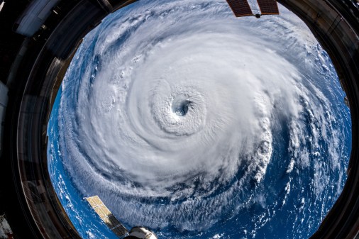
The new agreement specifically takes advantage of NOAA’s Geostationary Operational Environmental Satellite R series satellites, commonly known as GOES-R. The fleet is the most current version of NOAA’s weather satellites that are “geostationary,” which means their orbit matches the rotation of the earth so they stay hovering over a fixed location. The first of the satellites launched in 2016 and the fourth and final installment launched in June, reaching its orbit in July.
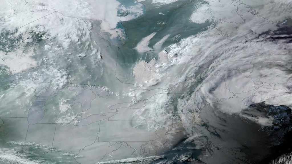
Those satellites can “not only capture the evolution of weather in great detail, but they can also sense the heat from fires,” Pavolonis said.
While satellite imagery like what’s broadcast on the news during a fire typically shows heat and smoke that can be seen with the naked eye, Pavolonis said that to take advantage of that information, there’s a need for automation that can find and track the blaze and provide decision-makers with those details.
Already NOAA’s satellite service has built a tool to provide some of those automated capabilities called the Next Generation Fire System, which it recently tested in its Fire Weather Testbed. That test, Pavolonis said, demonstrated that automated satellite-based fire detection from GOES-R can be used to identify fires more quickly. That testbed could also be used to eventually evaluate the tools that are created as part of the agreement.
In an emailed statement, an Interior spokesman told FedScoop the agreement will mean “systematically incorporating” data from the NOAA satellites into wildfire response and expanding the use of that data for early detection and to provide “near-continuous monitoring of fire intensity.”
“This initiative will leverage new technology like artificial intelligence to analyze, detect, and provide alerts regarding new wildfire ignitions and critical growth of existing fires, such as when the fire moves toward a community that should be evacuated,” the Interior spokesman said. “In conjunction with location-based services, it will also help to identify when a fire begins to shift toward firefighters on the ground to enable them to reposition.”
The work under the agreement stems from actions under the 2021 Bipartisan Infrastructure Law, from which it draws its funding. It comes after a commission on fire mitigation established under that law made dozens of recommendations to Congress, including expanding the use of fire detection systems and more collaboration. The initiative is also supported by $20 million under the law, which is split evenly between Agriculture and Interior, according to a release from the Department of Commerce announcing the agreement.
Notably, both the Next Generation Fire System and the Fire Weather Testbed at NOAA were also funded by the Bipartisan Infrastructure Law.
In a statement at the time of the announcement, Commerce Secretary Gina Raimondo said the administration’s investments have allowed NOAA “to significantly improve fire weather forecasts to keep communities safe.”
“This new partnership, a result of the most ambitious climate agenda in history, will help expand our ability to detect wildfires, improve response times, and keep families in western communities out of harm’s way,” Raimondo said.


