Army experiments with passive sensors for long-range targeting

The Army conducted experiments and tested technologies using passive electronic sensors to sense over greater distances to help guide longer-range strikes.
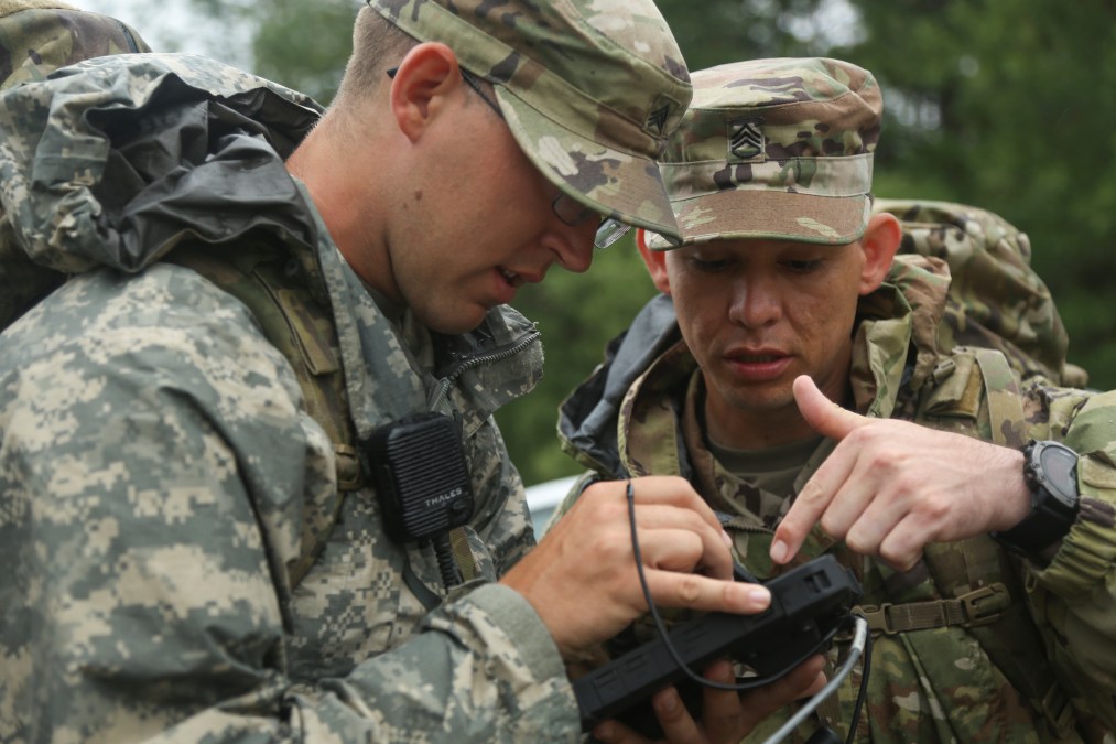
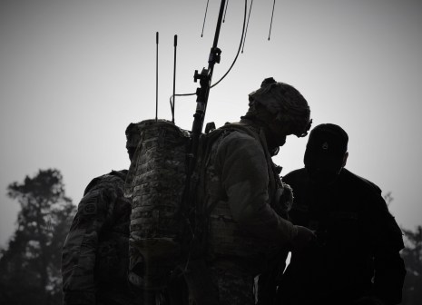
During the annual Cyber Quest experimentation event, held March 7-24 at Fort Gordon in Georgia, officials described one of the top priorities for the electronic warfare community as understanding how accurate they can sense with passive sensors on the battlefield.
“One of the Army’s main goals is to improve long-range precision fires and we think this passive sensing where a sensor is sitting there, it’s not emitting, it’s not creating a signature, it’s just quietly listening, is a very attractive way to inform our long-range fires assets,” Col. Daniel Holland, Army Capability Manager for Electronic Warfare, told reporters during a media call.
Cyber Quest is an annual experiment where the Army seeks to test emerging technologies on either existing or desired capabilities brought by contractors to help inform future requirements and concepts.
The Army’s top stated modernization goal is long-range precision fires to strike targets at vaster distances. Electronic sensing is one way the Army believes it can provide accurate targets over thousands of miles to acquire and see the targets it wants to hit.
Using sensors like radar is less attractive because they emit within the electromagnetic spectrum, meaning an adversary can detect it. A passive sensor, one that is just collecting emissions in the spectrum, does not register an easily detectible signature that an adversary can find.
As the Army looks to mature these technologies from experimentation to exercises and fielding, Cyber Quest provides a good venue to begin injecting more complexity, describing it as a crawl, walk, run approach, officials said.
One such example is the Army wants to use passive sensors to combine with traditional methodologies for plotting strikes.
“We were looking to combine these techniques, these algorithms in unique ways with different spacing, different geometries, different ways, we could either standoff and look in towards a threat area or maybe penetrate that threat area with different low-cost sensors mounted on small low radar cross-section low cost unmanned aerial systems in some novel ways of surrounding a target and generating different kinds of accuracy,” Holland said.
Other officials were impressed with the ways these technologies worked with command and control visualization platforms to help geolocate potential targets for intermediate-range targets.
“If there was a degree of inaccuracy or unknown in terms of being able to geolocate a potential target, the C2 platform would recommend the location to dispatch a sensor that would then help you derive a degree of confidence in the location,” said Brig. Gen. Paul Stanton, commander of the Cyber Center of Excellence.


